Establishment details
Trail
- Length(km) : 0,5
- Average trail clear width (cm) : under 100 cm
Trail-Elevation
- General elevation change on route : more than 6%
- Steep slope-Percentage(%) : more than 12%
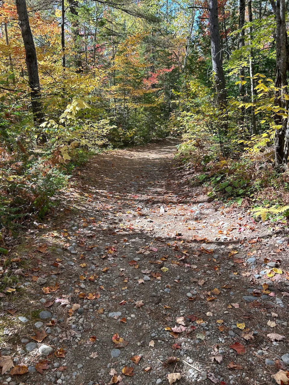
Trail-Surface
- Main surface type : hard-packed earth
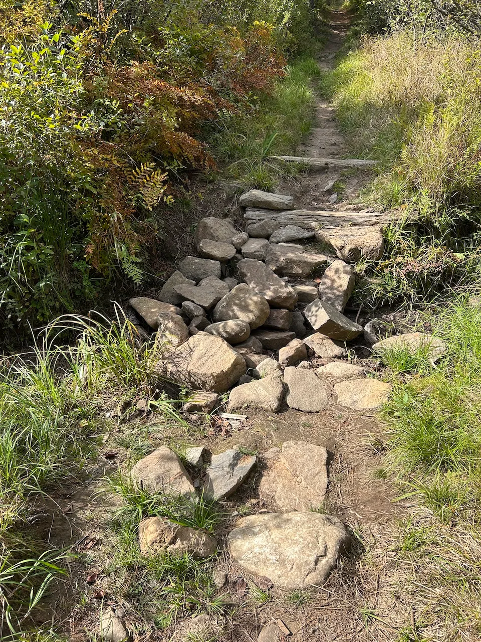
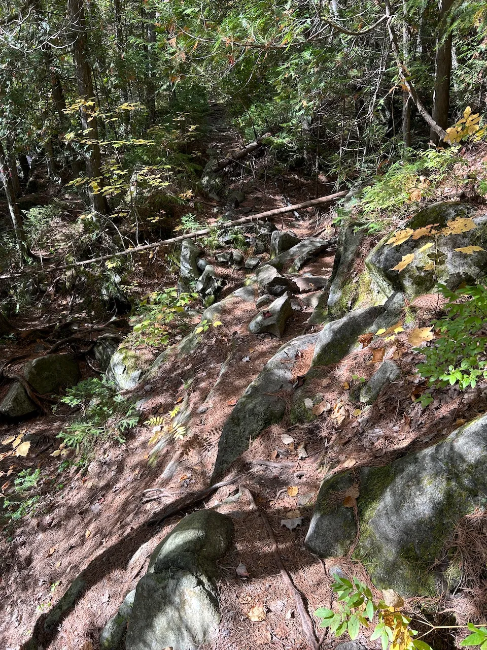
- Type of obstacles : rocks
Rest area
- Rest area slope(%) : 25
Additional Information
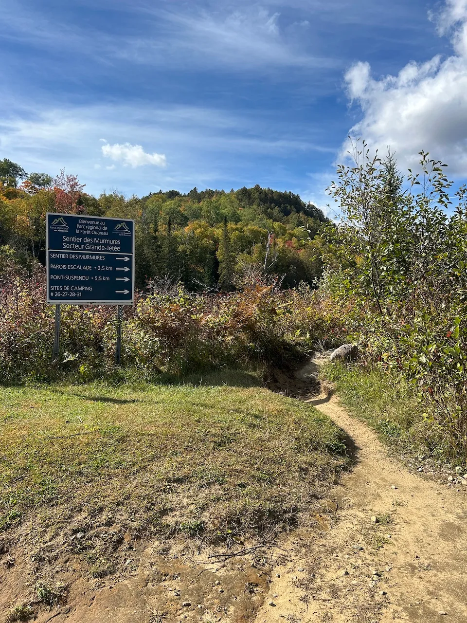
Access to the trail is from parking lot P4. It is a linear trail leading to the Contrefort sector.
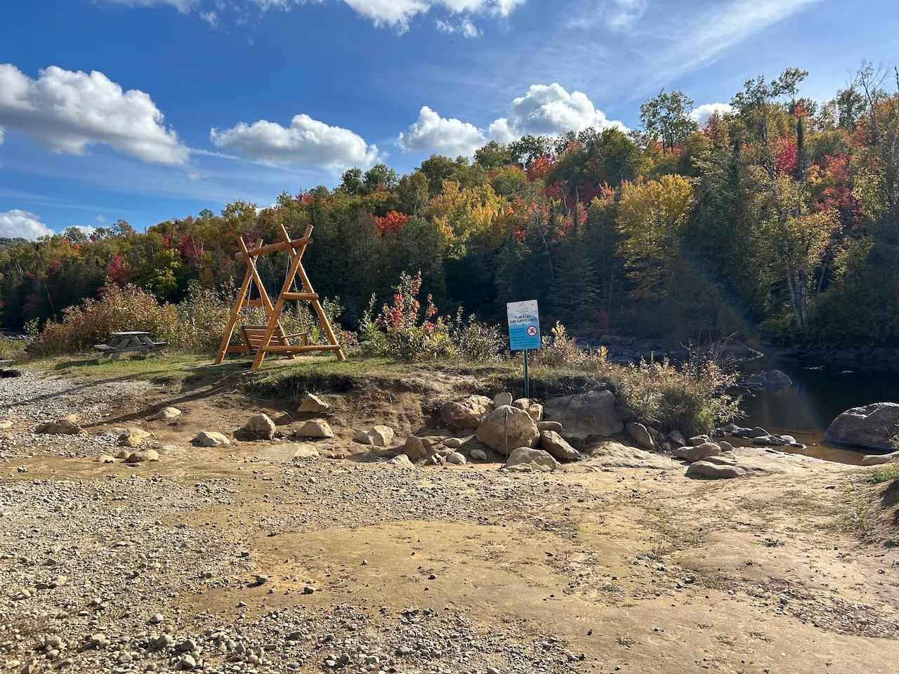
There is a rest area at the trailhead offering a view of the Ouareau River. From the parking lot to the river and this rest area, the trail is covered with large gravel, has no slope, and is relatively wide, making it partially accessible.
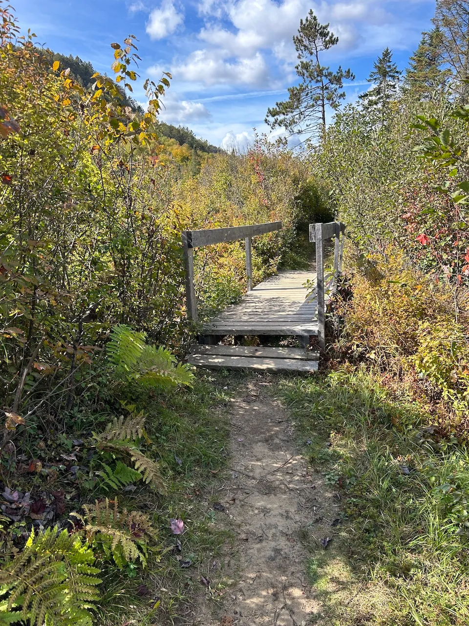
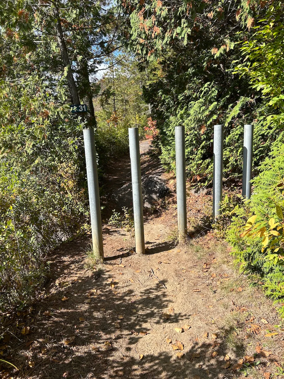
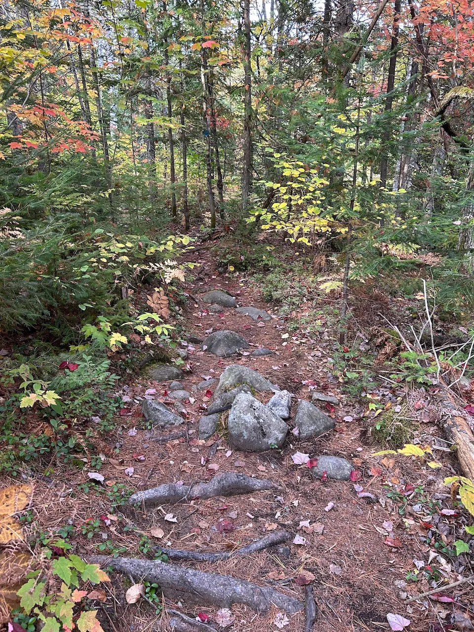
The width of the trail varies along its length and becomes very narrow in some places. The trail has many obstacles, including sand, large rocks, and roots. There are also bridges and bollards that narrow the passage to 38 cm. There are slopes of up to 30% and several sections require stepping over large rocks.
Rest area
- Table(s) available : yes
Directional signage
- Site map showing accessible services/routes : no
- Raised elements present : no
- Braille present : no
Additional Information
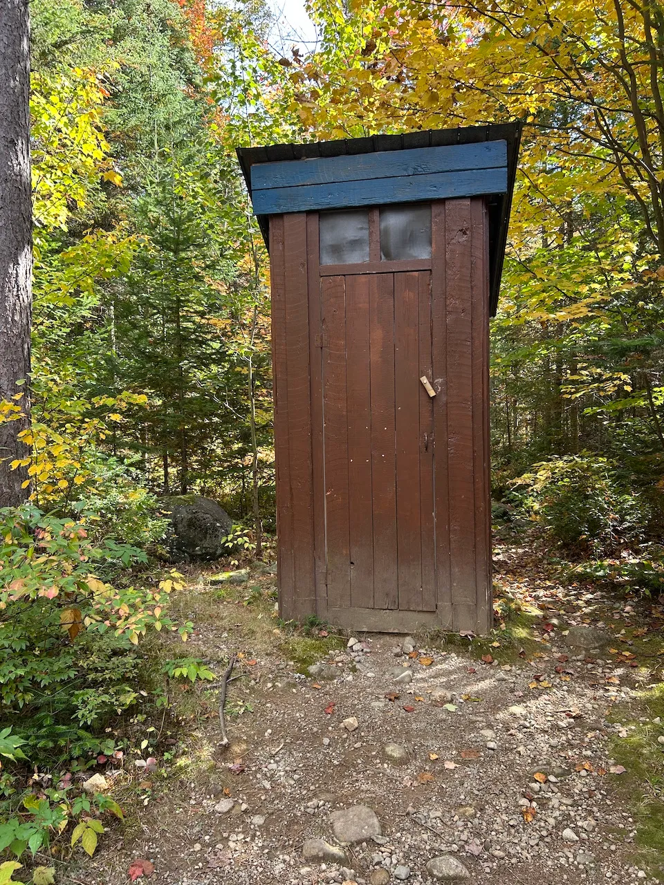
Several dry toilets are located at various points around the site, generally near trailheads. None of them are accessible, as they all have thresholds and no grab bars. There are no accessible picnic tables anywhere on the site.
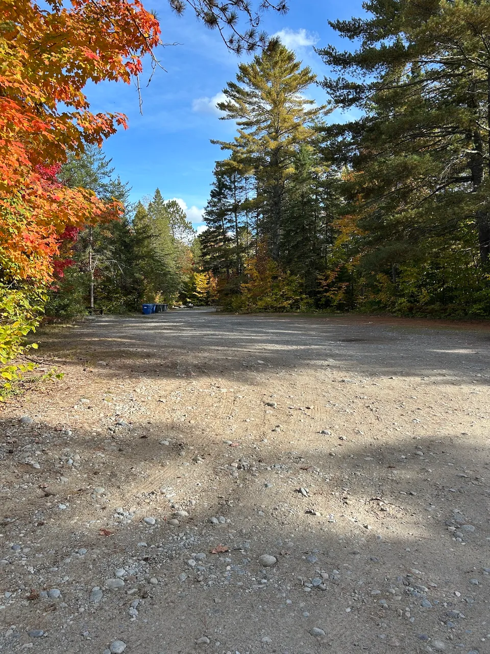
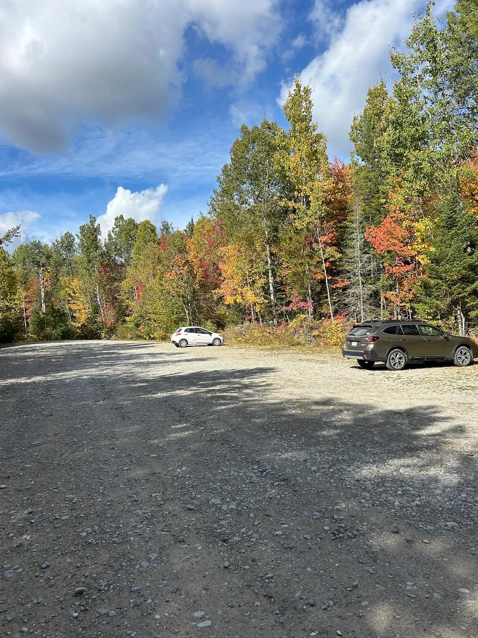
Parking-Information
- Parking type : outdoor
- Number of reserved spaces for people with disabilities : 0
Exterior surface
- Surface type : large gravel
Trail
- Length(km) : 2,1
- Average trail clear width (cm) : under 100 cm
Trail-Elevation
- General elevation change on route : more than 6%
- Steep slope-Percentage(%) : more than 12%
Trail-Surface
- Main surface type : hard-packed earth
- Type of obstacles : rocks
Additional Information
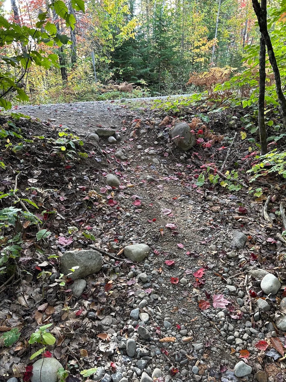
The trail begins about 40 m from parking lot P2 and starts with a very steep 44% incline on a coarse gravel surface. It then continues into the forest via a narrow dirt path, varying in width from 40 to 60 cm.
The trail has many obstacles, including roots, logs, and rocks, as well as sections with slopes of up to 29%. Educational signs are posted along the trail.
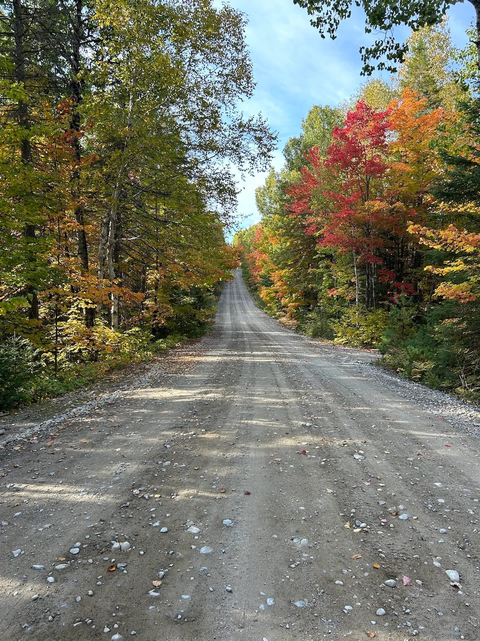
Exterior surface
- Surface type : large gravel
Circulation aisle
- Presence of steps :
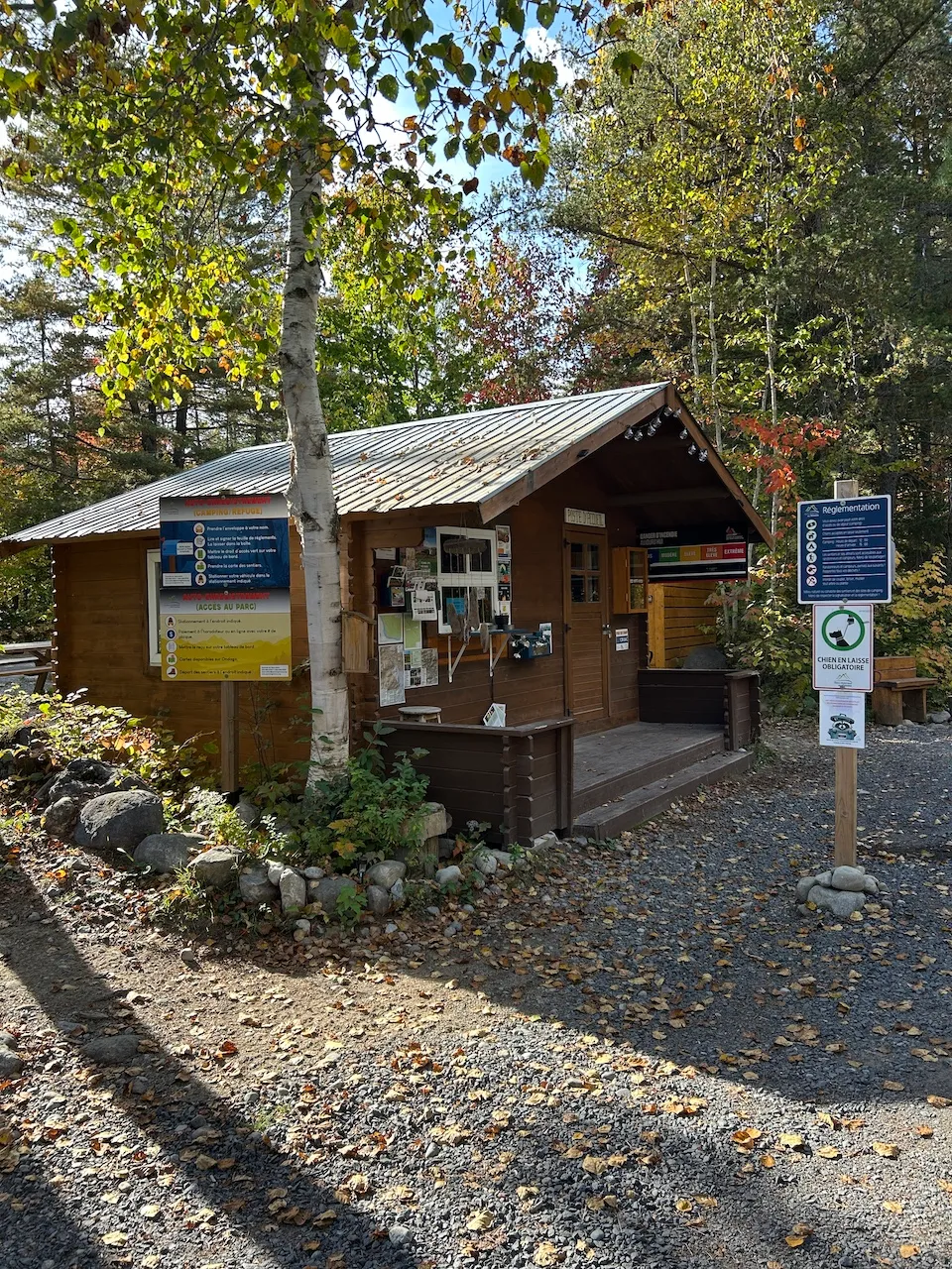
Kiosk type
- Kiosk type : reception
Counter
- Surface height (cm) : 112
Payment terminal
- Payment terminal type : wireless
Additional Information
The reception desk is not accessible, but it is possible to purchase daily access directly on the park's website.
Trail
- Average trail clear width (cm) : over 150 cm
- Type of obstacles :
Trail-Elevation
- General elevation change on route : more than 6%
- Steep slope-Percentage(%) : more than 12%
Trail-Surface
- Main surface type : compacted stone dust
- Secondary surface type : large gravel
Additional Information
This is a multi-purpose trail connecting the visitor center to the P5 parking lot and serving all parking lots and trailheads. It is used by vehicles, but can also be used by pedestrians and cyclists. The trail is generally gently sloping, although some sections have gradients ranging from 10% to 20%.
Picnic tables are located near the visitor center, but none are accessible. Dry toilets are generally provided at each trailhead.
Description
The Ouareau Forest Regional Park is a vast natural area dedicated to outdoor activities, divided into six sectors. The park offers a network of forest trails, most of which feature steep slopes and natural obstacles. No adapted equipment is available for loan and there are no toilets accessible throughout the site.
Avenue du Castor, Chertsey, Québec
819 424 1865 /
parcsregionaux@matawinie.org
Visit the website