Establishment details
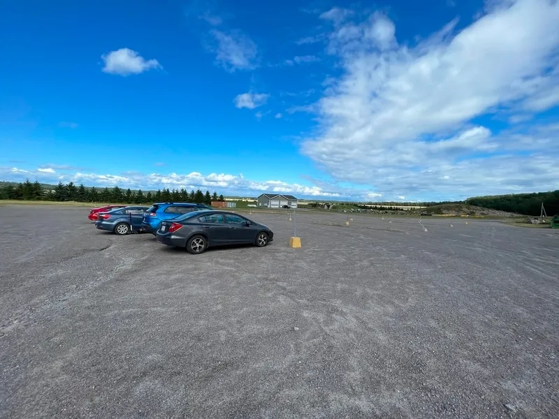
flooring
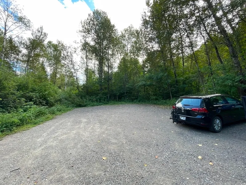
- Compacted stone ground
Number of reserved places
- No seating reserved for disabled persons
flooring
- Compacted stone ground
Number of reserved places
- No seating reserved for disabled persons
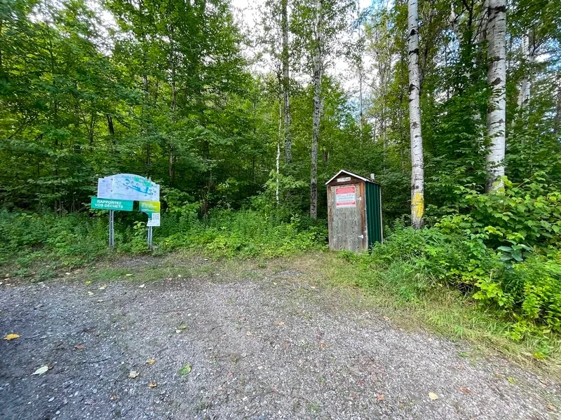
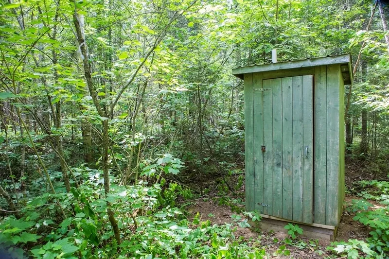
Accessible washroom(s)
- No toilet cabin equipped for disabled people
Accessible washroom bowl
- No transfer zone on the side of the toilet bowl
Accessible toilet stall grab bar(s)
- No grab bar near the toilet
Additional information
- Dry toilet with no room to maneuver.
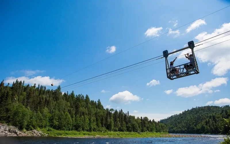
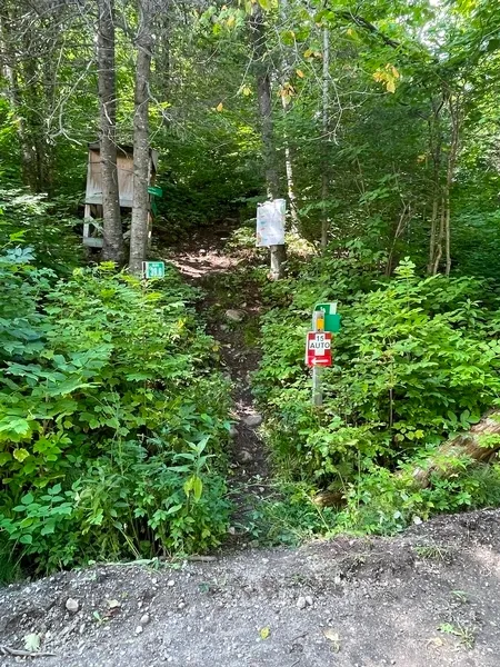
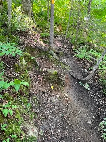
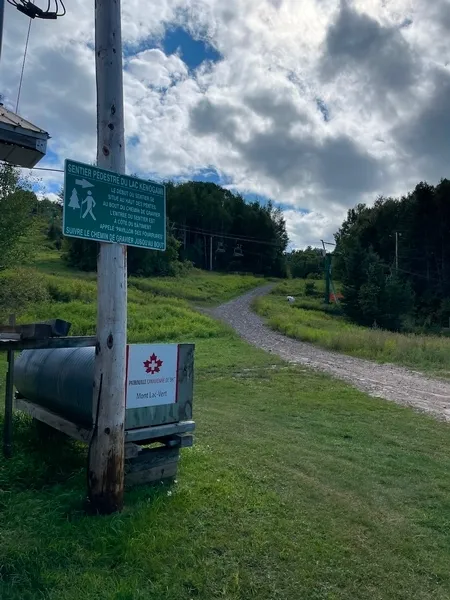
Trail
- Slope : 20 %
- No rim
Additional information
- Most of the 40 kilometers of trails are rated intermediate or difficult.
- The Sitelle family trail and the Sentier du Grand-Pic are marked on the map as “Accessible to all.”
- However, to access the family trails, hikers must pass through the intermediate/difficult trails, which have several obstacles: significant elevation changes, roots, thresholds, slippery surfaces, and no adapted facilities.
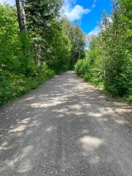
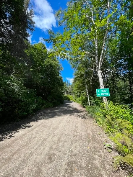
Trail
- Gentle slope
- Coating in compacted rock dust
- Width over 1.1m
- Well marked trail
- level path
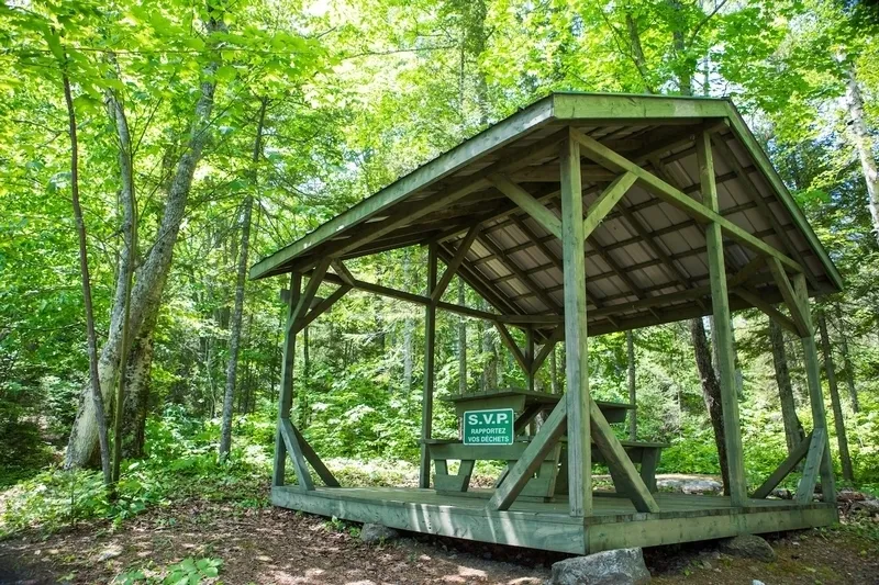
Rest area
- No rest area
Additional information
- Private road leading from the parking lot to the start of the official trail. This section is the only accessible part of the park. It offers peaceful forest scenery and runs alongside a stream.
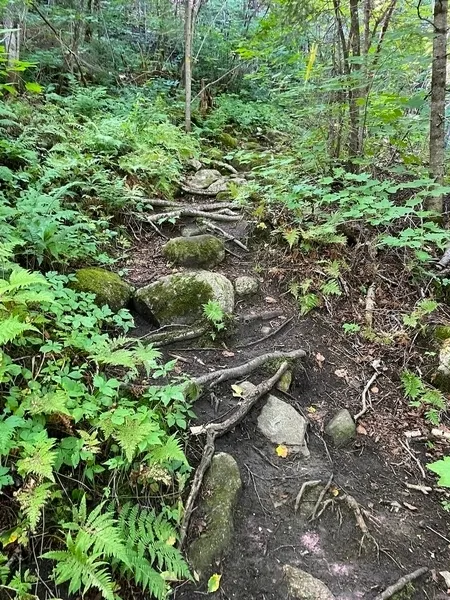
Trail
- Slope : 12 %
- Coating in compacted rock dust
- Coarse gravel surfacing
Additional information
- A fairly wide access trail starting at a ski resort with a steep slope. The access trail leads to intermediate and difficult trails. Several large rocks are present on the access road.
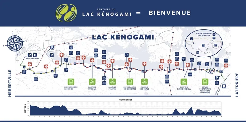
Description
From Hébertville to Laterrière, the trail stretches for nearly 40 kilometers. Access is either:
- via Chemin de la rivière Simoncouche, between km 221 and 222 of Route 175, on the right towards Quebec City, or
- via Hébertville at the Mont Lac-Vert station.
The trail connecting the two access points has several obstacles: significant elevation changes, roots, thresholds, slippery surfaces, and no adapted facilities.
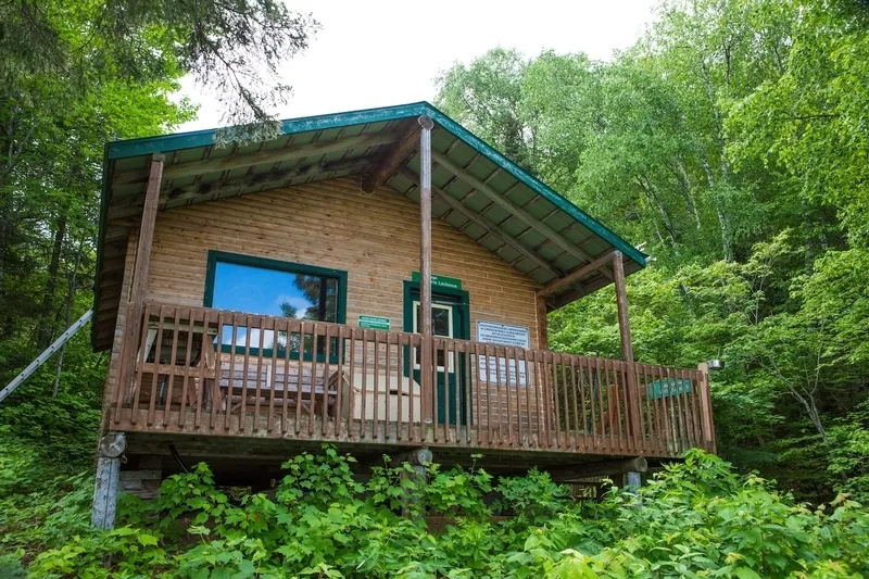
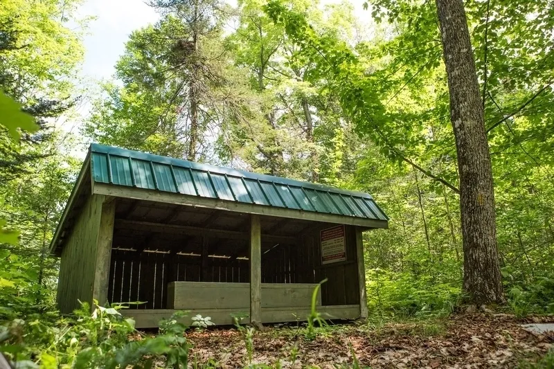
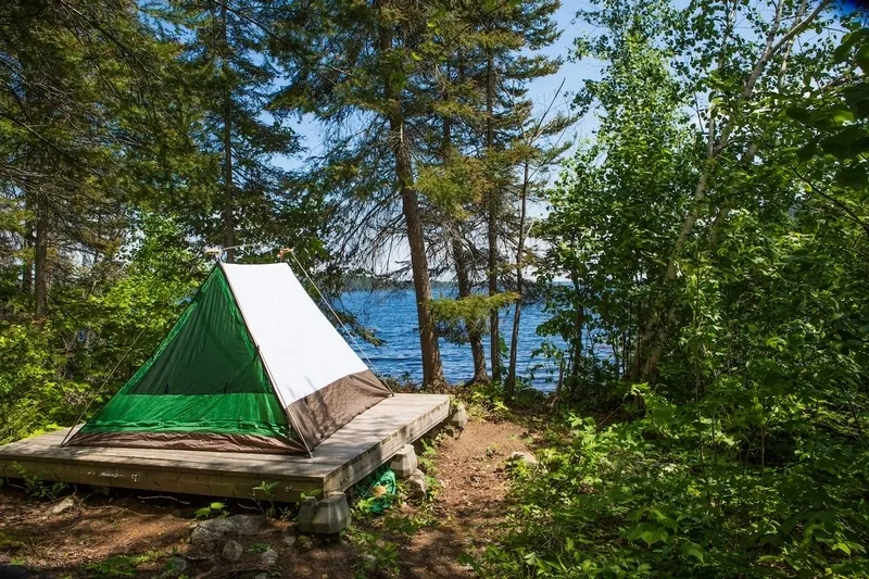
The site offers rustic camping, lean-tos, and shelters located at various points along the trail.
No loan of adapted equipment.
Contact details
300, boulevard de la Grande-Baie Nord, La Baie, Québec
418 545 0747 /
info@lac-kenogami.ca
Visit the website