
Establishment details
Exterior surface
- Surface type : compacted stone dust
- Type of obstacles : rocks
Parking-Information
- Parking type : outdoor
- Total number of spaces : less than 25
- Number of reserved spaces for people with disabilities : 1
Reserved parking
- Reserved space identification : sign
- Sign-Color contrast : sufficient
Additional Information
This parking lot provides access to Parc du Corridor aérobique.
Exterior surface
- Surface type : compacted stone dust
- Type of obstacles : rocks
Parking-Information
- Parking type : outdoor
- Total number of spaces : less than 25
- Number of reserved spaces for people with disabilities : 0
Table
- Table type : picnic
- Location : outside corridor
Additional Information
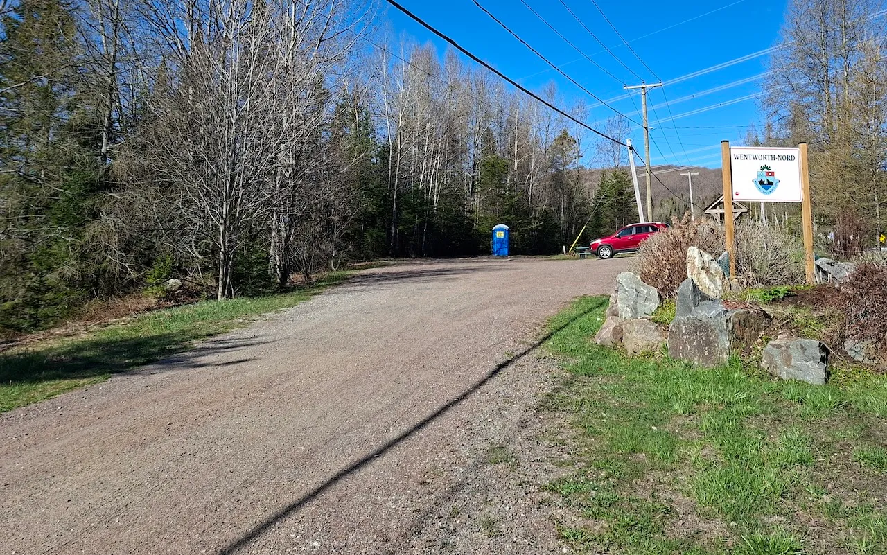
The parking "P3 - Access to Intersection N1" is located at the following address : 1699, route Principale, Wentworth-Nord, Québec, J0T 1Y0.
This parking lot is located at mile marker 14.5 of the Corridor aérobique.
Seating furniture
- Seating available : no
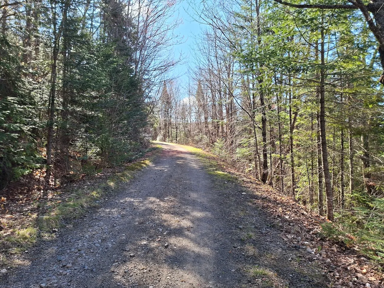
Trail
- Length(km) : 58
- Average trail clear width (cm) : over 150 cm
- Presence of obstacles : yes
- Type of obstacles : ravine without railing
- Adapted equipment rental available : no
Trail-Elevation
- General elevation change on route : between 2% and 6%
Trail-Surface
- Main surface type : hard-packed earth
- Secondary surface type : compacted stone dust
Rest area
- Rest area available : no
Directional signage
- Site map showing accessible services/routes : no
- On-site directional signage-Quantity : insufficient
- Signage type : signs
Additional Information
The Corridor aérobique is a 58 km multi-purpose recreational trail built on an old railroad.
Seating furniture
- Seating available : no
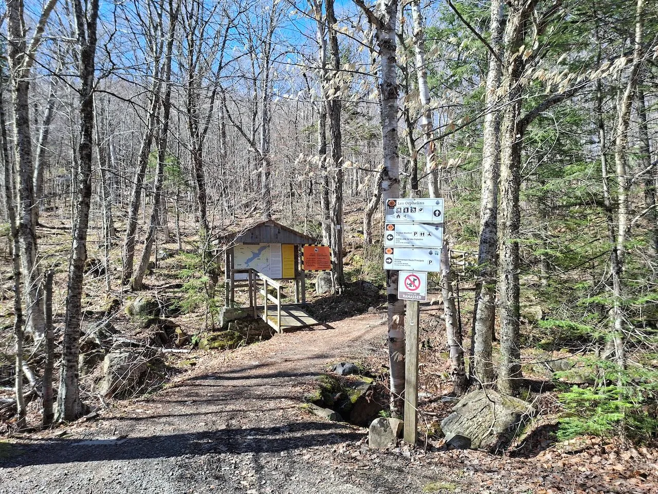
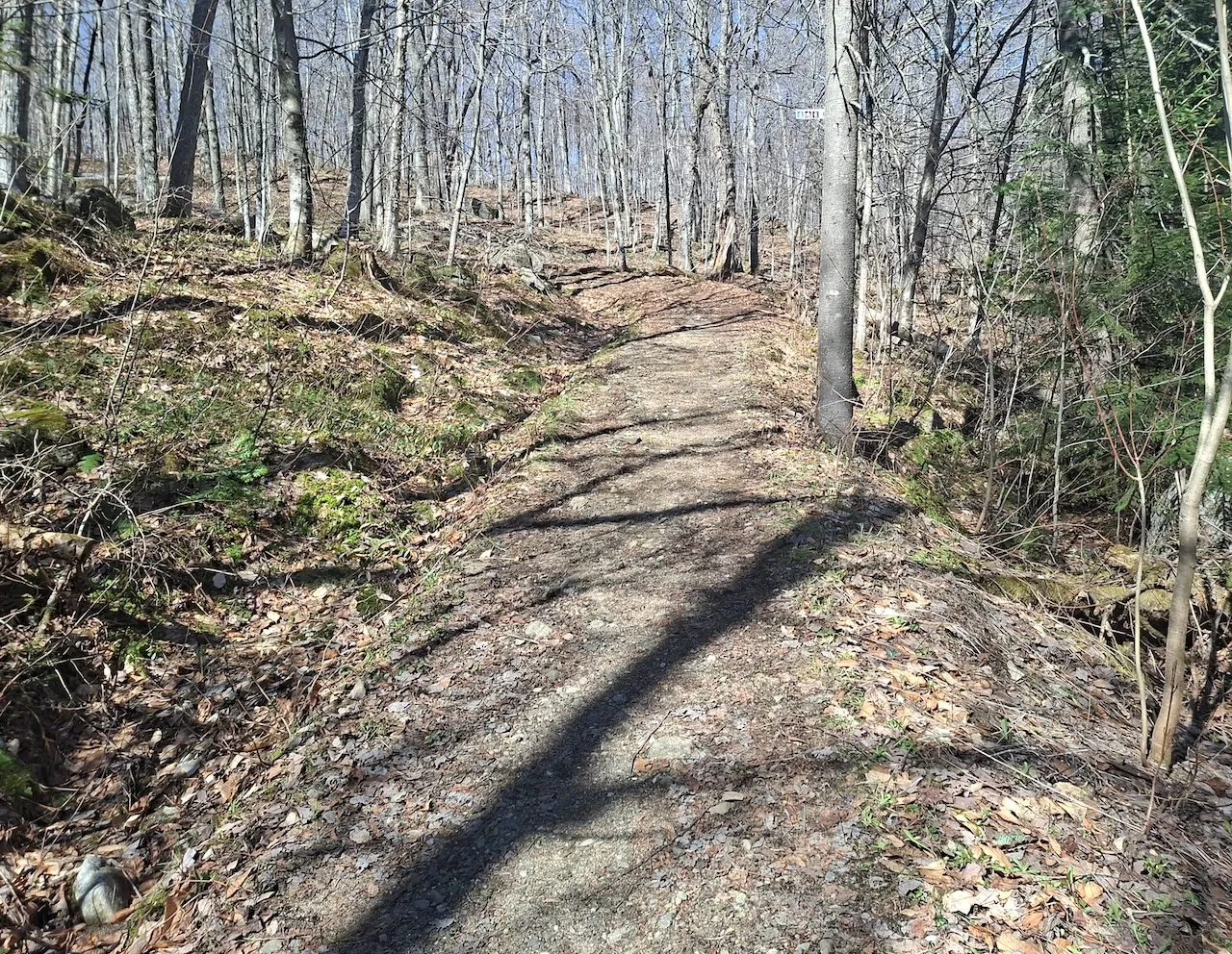
Trail
- Length(km) : 5,8
- Presence of obstacles : yes
- Type of obstacles : ravine without railing
- Adapted equipment rental available : no
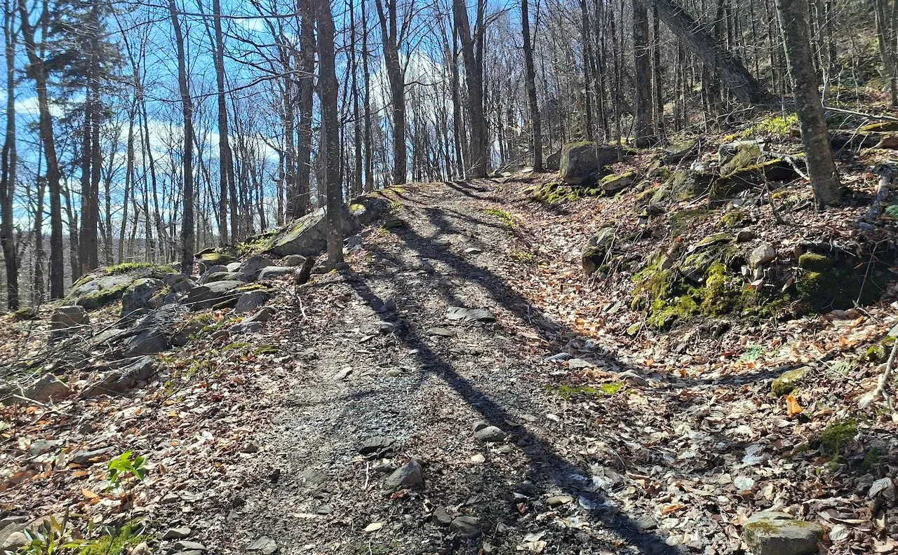
Trail-Elevation
- General elevation change on route : more than 6%
- Steep slope present : yes
- Steep slope-Percentage(%) : more than 12%
Trail-Surface
- Main surface type : hard-packed earth
- Presence of obstacles : yes
- Type of obstacles : roots
Directional signage
- Site map showing accessible services/routes : no
- On-site directional signage-Quantity : insufficient
- Signage type : signs
- Visibility : hard to see from afar
Additional Information
The "Les Orphelins" hiking trail was assessed starting from Intersection N1.
Description
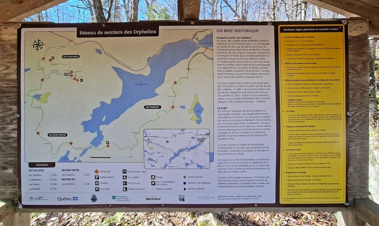
The Réseau des Sentiers des Orphelins consists of about ten hiking trails totaling 12 km that wind through the forest along the shores of Lake Saint-François-Xavier. This network offers trails of varying difficulty levels and is open to visitors year-round, whether for hiking or snowshoeing.
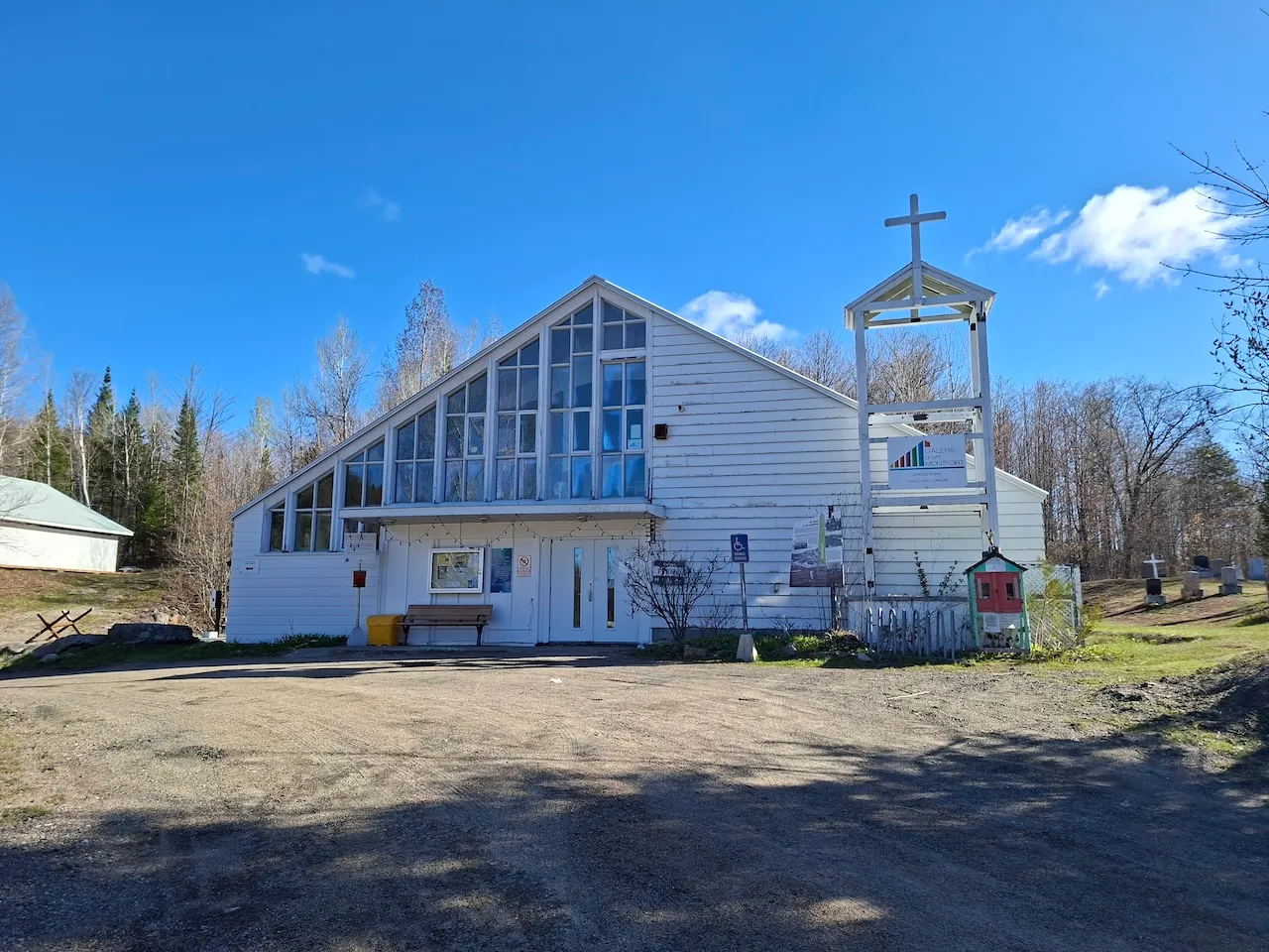
160, Route Principale, Wentworth-Nord, Québec
450.226.2416, poste 221 /
reception@wentworth-nord.ca
Visit the website